Nicholas PinterNobel Conference 62
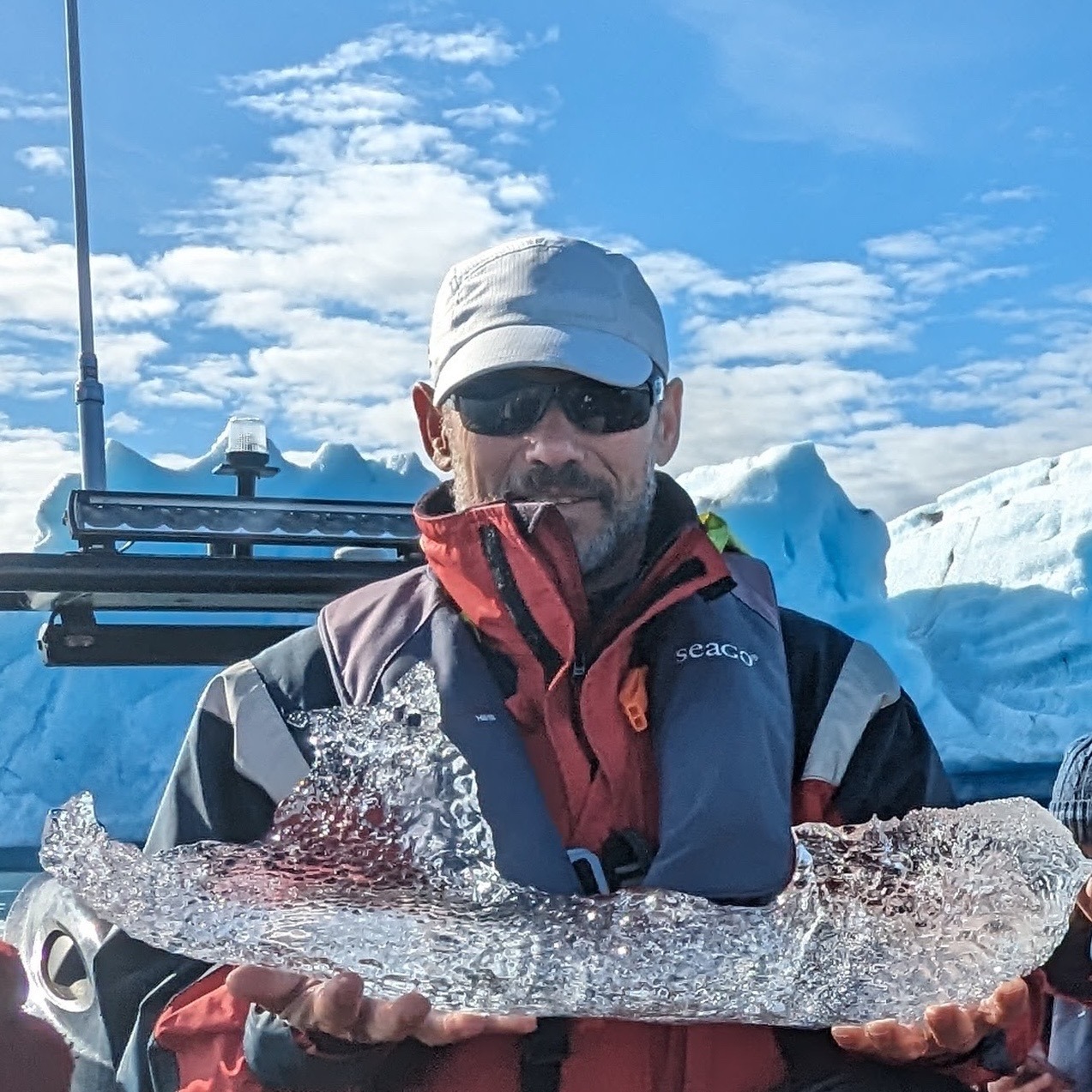
Nicholas Pinter
Roy J. Shlemon Distinguished Professor in Applied Geosciences in the Department of Earth and Planetary Sciences and Associate Director of the Center for Watershed Sciences at the University of California, Davis
300+ Years of ‘Riparian Consent’: Living with Floods Along the Mississippi River
Geoscientists have a much-used adage that “Civilization exists by geological consent – subject to change without notice.” The principle is that society expects the earth beneath our feet and the landscape around us to remain stable, whereas history documents the upheaval when disruption inevitable does occur. Worldwide, and in the northern Midwest US in particular, the agent of geological change is most commonly rivers.
Rivers provided the principal avenues of exploration, transportation, and settlement across the interior of North America, including during the periods of Indigenous habitation and later European expansion. The Mississippi River and its tributaries drain about 41% of the conterminous (“lower 48”) United States, and many modern communities were founded on the banks of this river network, drawn by the resources and transportation access provided by these locations. But rivers are a mechanism of “riparian consent,” and proximity also brings long-term change, including the threat of flooding.
Flooding is the most damaging natural hazard in the world, and nowhere more so than the Mississippi River and its tributaries. Major floods have been milestone events along these rivers, reshaping communities as well as national policy. Strategies for managing and mitigating this flood risk have evolved over time. Along the Mississippi, over more than three centuries, the initial US strategy of “Levees Only” gave way to diversified flood-control toolkits, and then to a growing focus on local mitigation, and now growing interest in “Room for the River” and other nature-based solutions.
One non-structural approach to flood-risk management that has gained attention in recent years has been so-called “managed retreat.” Managed retreat is a “Room for the River” approach that refers to moving residents and infrastructure up and/or away from rivers, theoretically removing the threat of flooding once and for all. Various forms of retreat have been implemented along the Mississippi and continue to be implemented. One interesting subset of managed-retreat initiatives involves the wholesale relocation of communities, typically after catastrophic flood damage. Managed retreat and community relocation has entered widespread discussion with the growing recognition of climate-driven magnification of coastal as well as river flooding.
The floodplains of the Mississippi River and its tributaries have been a proving ground of managed retreat and community relocation, with a history stretching back at least 140 years. These historical and contemporary case studies offer empirical lessons on the political, financial, and social conditions that enable or hinder adaptation. Future flood-risk management requires translating lessons from past successes and failures into more equitable, climate-resilient programs that integrate local leadership, federal coordination, and sustainable planning.
Biography
A geomorphologist specializing in flood hazards and river systems, Dr. Pinter has become one of the nation’s leading voices challenging conventional approaches to flood management and documenting how engineered river systems paradoxically intensify the very flooding they were designed to prevent.
Dr. Pinter earned his PhD from UC Santa Barbara in 1992. His research focuses on earth-surface processes operating over anthropogenic time scales—what he calls the “Anthropocene”—with particular emphasis on how human modifications to landscapes create and amplify natural hazards. His work combines fluvial geomorphology, hydrologic modeling, statistical analysis, and hydraulic modeling to assess river dynamics, quantify flood risks, and provide scientific foundations for sound natural hazards policy.
Dr. Pinter’s research on the Mississippi River system has fundamentally challenged the levee-dependent flood management paradigm that has dominated American river engineering for over a century. Through detailed hydraulic modeling and analysis of stream gauge data across the Mississippi River basin, he and his collaborators have demonstrated that levees create a dangerous feedback loop: by constricting river channels and blocking access to natural floodplains, levees force floodwaters higher than they would otherwise rise, pushing devastating flood surges onto communities across the river and both upstream and downstream. His studies show that every single percent of floodplain land enclosed by levees produces measurable increases in flood heights for neighboring communities—transforming what were historically 100-year floods into 10-year events in many locations along the heavily engineered Missouri and Mississippi rivers.
Perhaps most critically, Dr. Pinter has explored the concept of “residual risk”—the often-hidden danger that communities protected by tall levees face catastrophic consequences when those levees inevitably fail or overtop. When high levees collapse under pressure from massive floods, the resulting wall of water inflicts far worse damage than would have occurred without the levee.
Dr. Pinter’s research on levee setbacks—moving levees farther back from river channels to restore floodplain storage capacity—demonstrates that strategic redesign of flood protection systems can simultaneously reduce flood heights, lower long-term economic losses, and restore vital wetland ecosystems. His modeling along the Middle Mississippi River shows that optimized levee setback configurations can reduce flood damage while providing critical habitat for fish, waterfowl, and other wildlife. These findings have informed national conversations about “working with nature” rather than attempting to control it, and have influenced flood management strategies from the Netherlands’ “Room for the River” program to emerging discussions about managed retreat in vulnerable American communities.
Dr. Pinter received the Eco-Alianza Environmental Stewardship Award in 2024 and has published extensively in leading scientific journals. His research has been featured by NPR, ProPublica, and numerous media outlets covering flood disasters and climate adaptation. At UC Davis, he co-teaches the popular “Ecogeomorphology of the Colorado River – Grand Canyon” course and leads NSF-funded research on sustainable water management and disaster preparedness, training the next generation of scientists to approach river management with systems thinking and ecological humility.