Facilities
Geography Department facilities and equipment include:
- GIS Lab
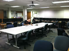
- The Geographic Information System (GIS) Computer Lab is equipped with 17 computers that have Intel i5 processors, 8GB memory, and large dual monitors. The following GIS and image processing software is available in this lab:
- ArcGIS 10.2
- Spatial Analyst
- 3-D Analyst
- IDRISI
- ERDAS IMAGINE
- Google Earth
- Photoshop
- ArcGIS 10.2
- Physical Geography Lab
- The department houses a stream table for fluvial geomorphology simulations. Field equipment includes psychrometers, portable wind speed indicators, water level meters, and soil sampling probes and augers. In addition, the department has Leica global positioning system (GPS) receivers and Garmin GPS units.
-
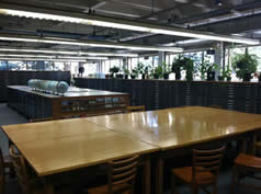
Gustavus is a federal map depository. The collection contains nearly 100,000 map sheets covering the world at various scales, plus reference works on a variety of topics. The air photo collection covers the Twin Cities and southern Minnesota.
- Jacobson Climatology Lab
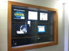
- The department's climate lab features a Capricorn 2000 weather station that measures and continuously records solar radiation, temperature, dewpoint, pressure, wind speed and direction.